Phenotyping Devices
Discover The Phenotyping Device and Sensors For Your Research Needs
We have our data processing pipelines available for Literal, drones, dino-lite microscope, 3D modelling devices and satellites. We can assist you with any phenotyping equipments protocol that will fits your requirements. We are also capable for provide recommendations that will get your task finalised.
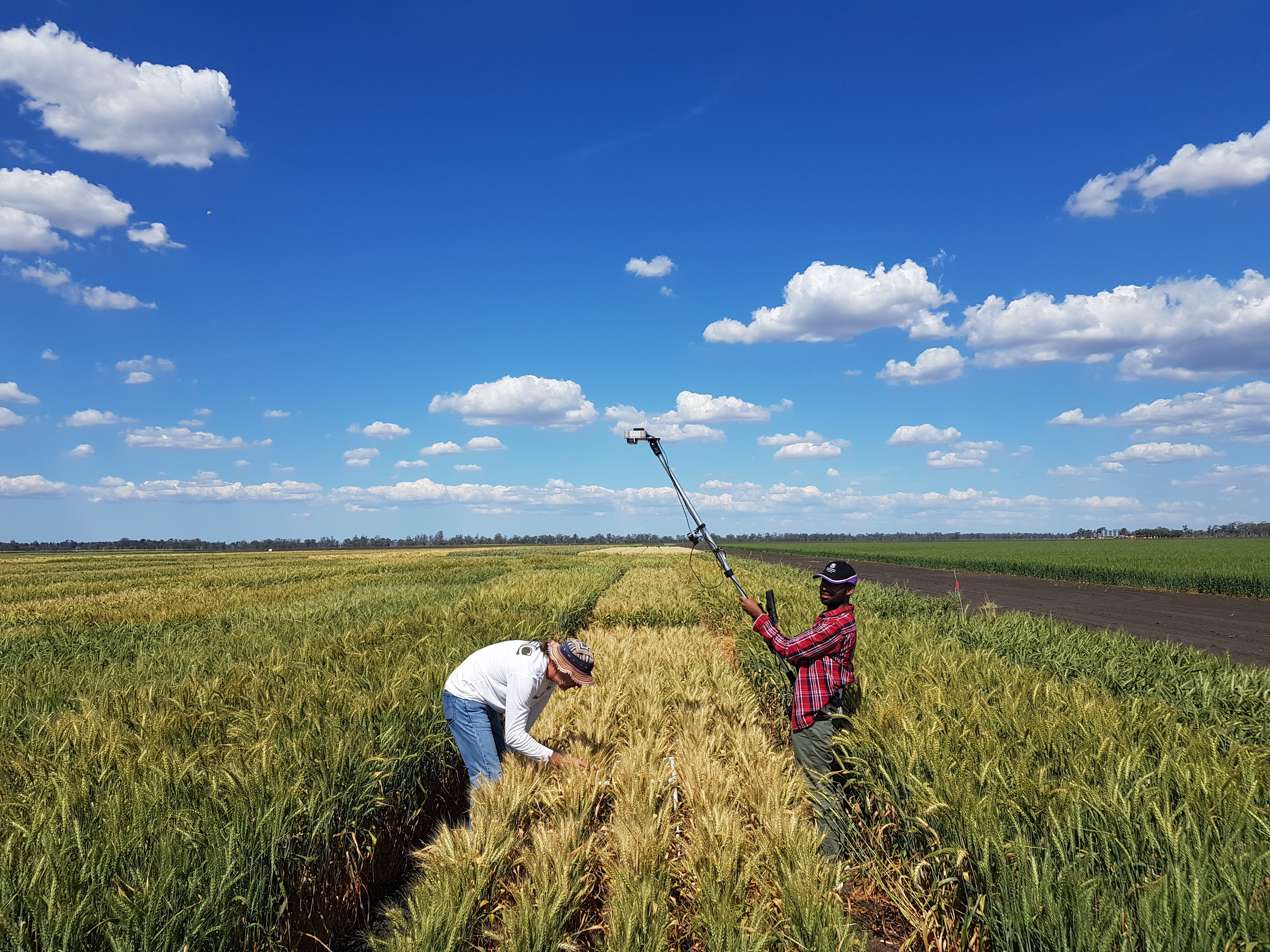
Literal: Handheld High Resolution Phenotyping Device
The Literal is a device designed specifically for taking images of plots within agricultural field trials. It has a measurement head with two Sony RXO II cameras looking directly down at a nadir angle (they are configured so that stereo images can be made), and a third camera looking at a 45 degree angle. The cameras are mounted on an adjustable pole that can be raised or lowered to adjust the position of the cameras relative to the crop canopy.
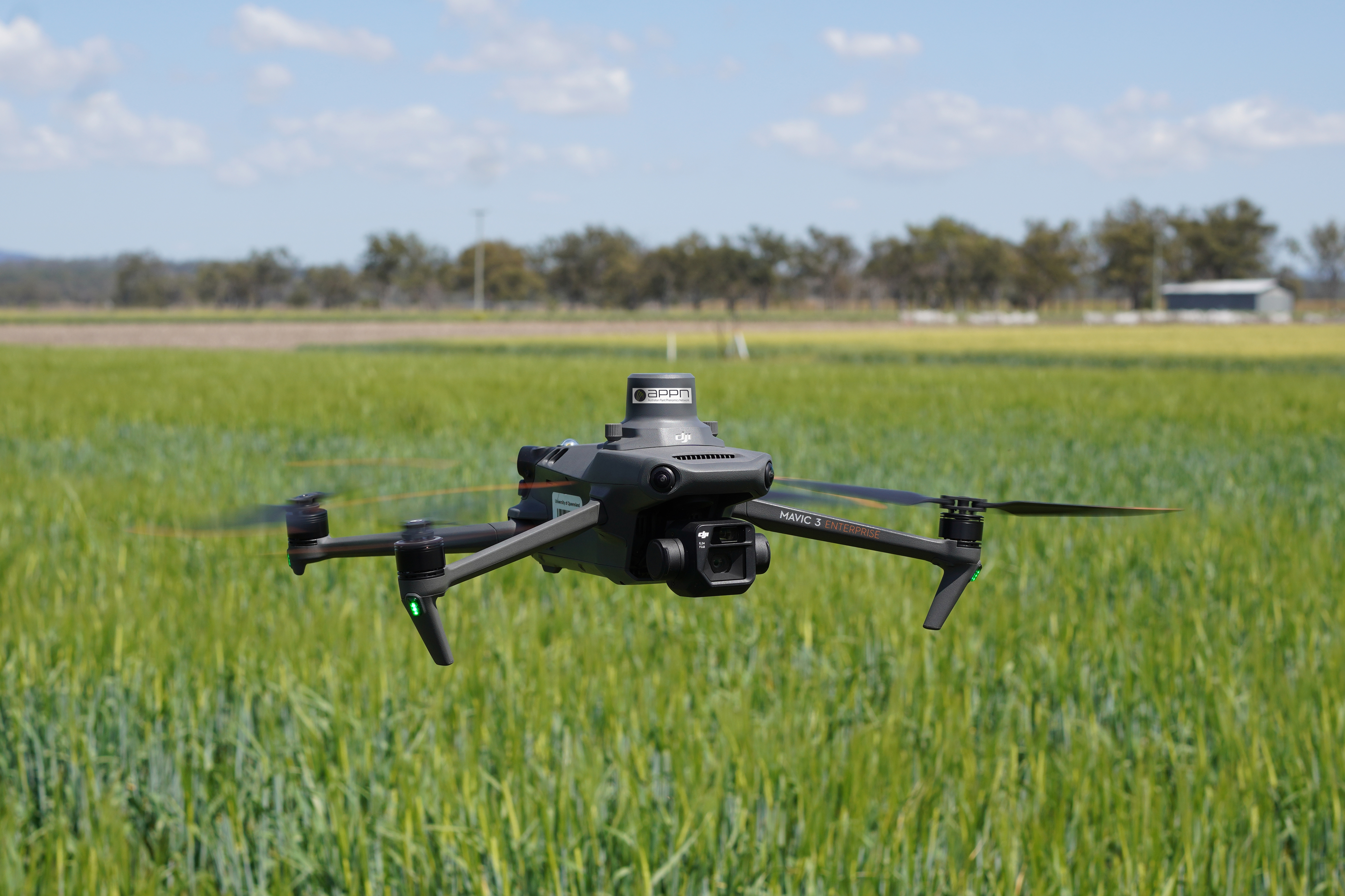
Drones: unmanned Aerial Vehicles
Drones have revolutionized in-field phenotyping by making image acquisition faster, easier, more accessible, and more precise than ever before. They utilize sensors such as RGB, multispectral, and LiDAR to answer specific phenotyping needs.
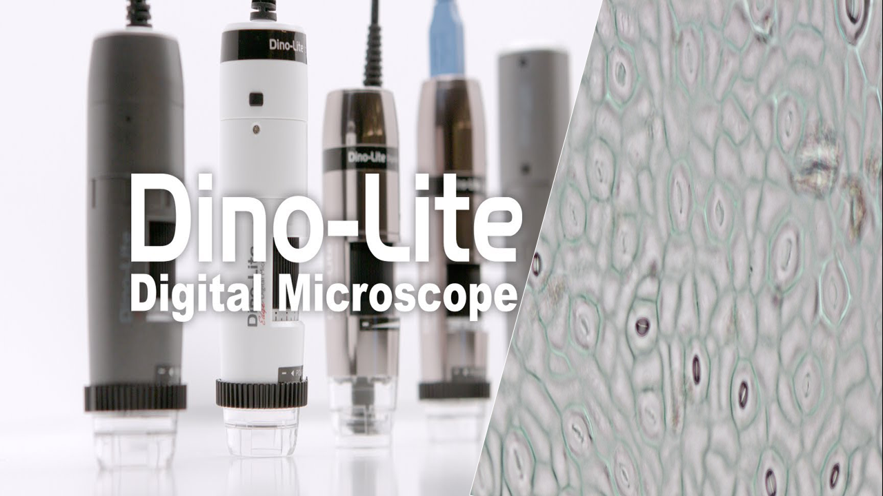
Dino Lite Microscope
The Dino-Lite microscope is a highly versatile and portable digital microscope designed for a wide range of applications, including the collection of stomata data from leaves. Renowned for its high-quality imaging capabilities, the Dino-Lite microscope allows researchers and professionals to capture detailed images and videos with ease.
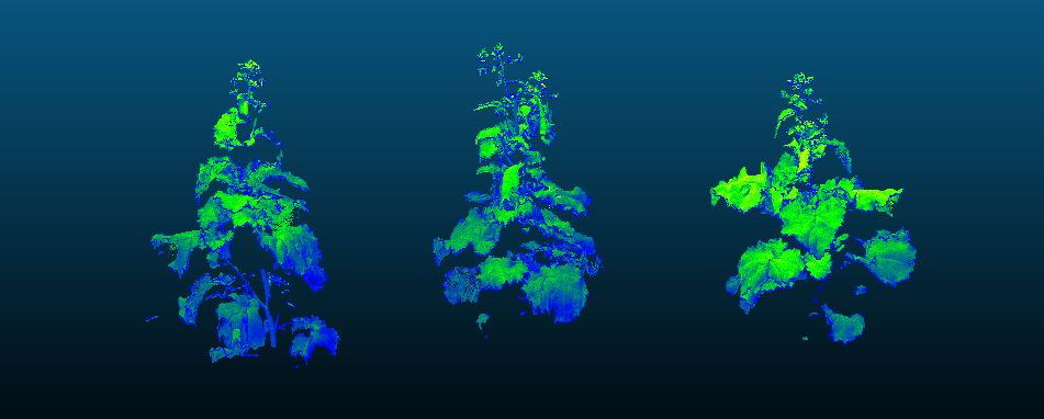
3D Modelling Platform
Our 3D modeling platform transforms field data into detailed models, providing a comprehensive view of crop structures. This technology enhances your analysis, enabling precise assessment of growth patterns and informed decision-making in agricultural research.
Field Cameras
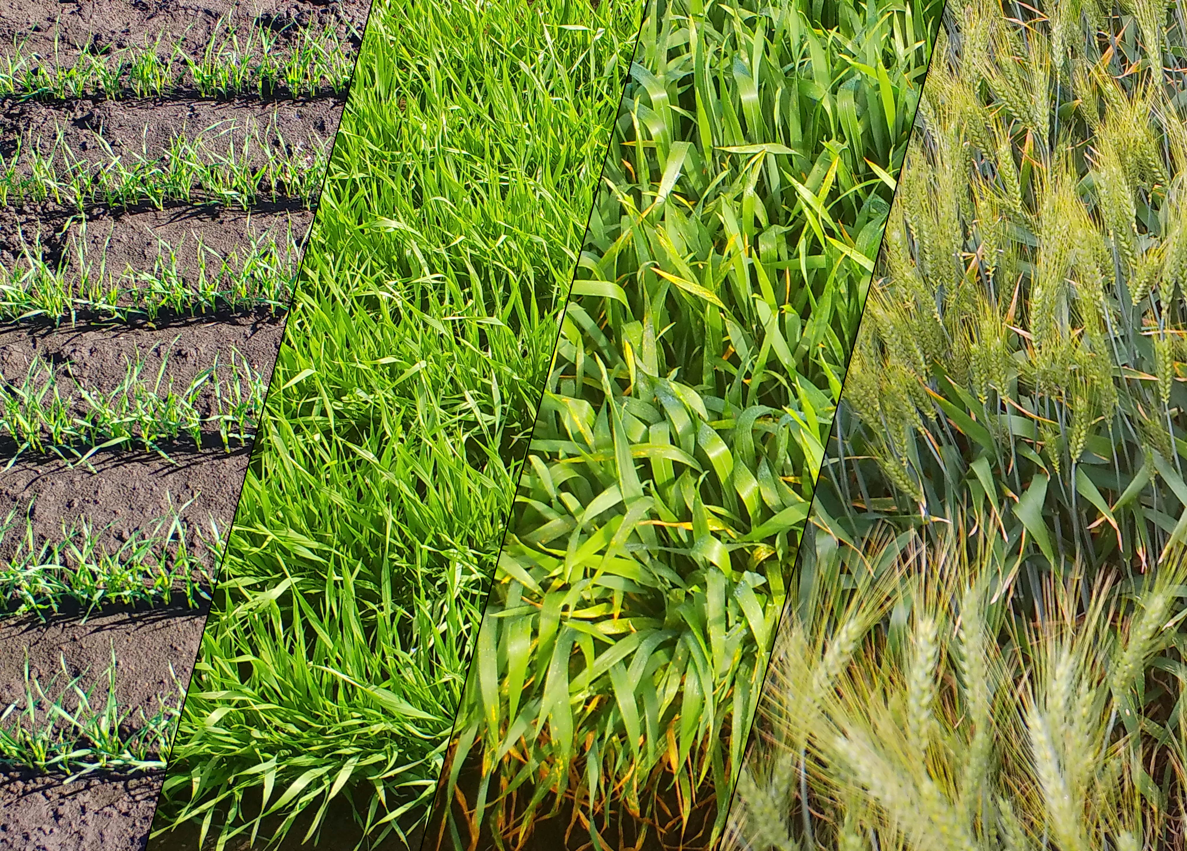
Our team is equipped with advanced field cameras designed to meet diverse plant phenotyping needs. These high-resolution cameras provide detailed insights into plant health, growth, and development, ensuring you have the precise data to drive your research forward. Discover how our technology can enhance your phenotyping efforts and unlock new possibilities in agricultural science.

Satellite Data: Google Earth Engine & Planet
We leverage satellite data from Google Earth Engine and Planet to provide comprehensive insights into your agricultural projects. These high-resolution images offer a broad perspective on crop health, land use, and environmental conditions, enabling precise monitoring and analysis over time. This data is a powerful tool for making informed decisions and optimizing your research and management strategies.

